Learning about the Unites States one state at a time.
Bug and Monkey have been learning about the states. I found these amazing printable maps at Your Child Learns. You can print out maps of each continent or even a world map. They also have multiple sizes of each map You can print a map on a single piece of paper all the way up to the largest size - 64 pages or 8 x 8 pages.
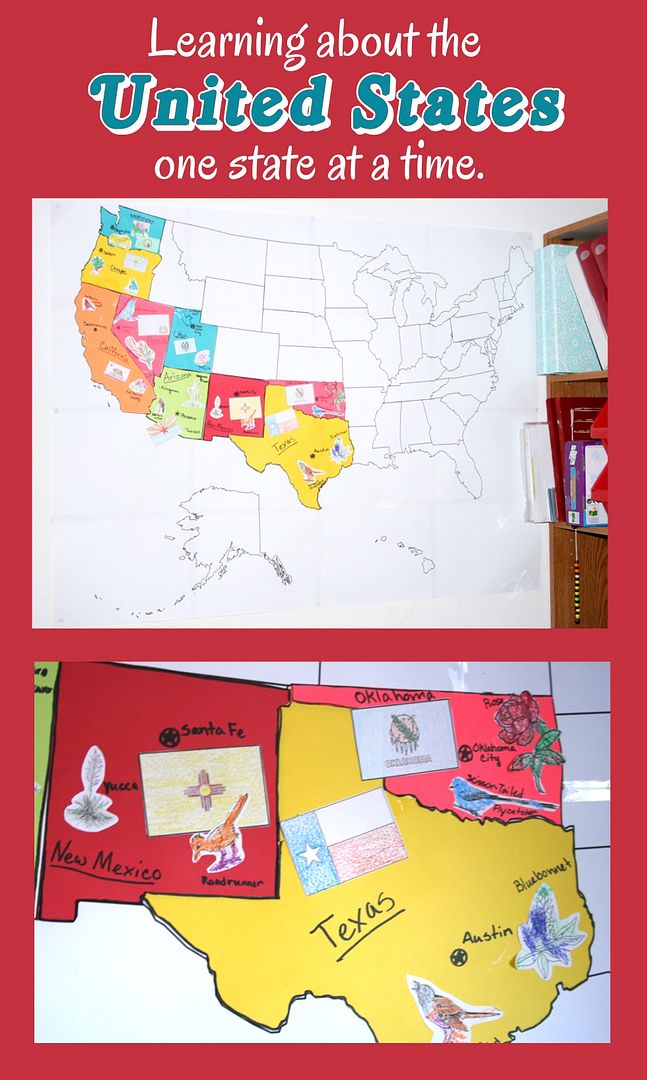
I chose to print the U.S.A map on 16 (4x4) pages. I used clear tape to connect the pages then hung it up on the wall in our school room. For the states I traced each one onto brightly colored construction paper. (I just hold the construction paper over the map and trace the state then cut it out. If a color is to dark to see through I trace the state onto white paper and then hold it up to a window and retrace it onto the construction paper) I was cutting the states out as we went but I had some spare time last weekend and decided to trace and cut the rest of the states. Then I wrote the name and capitol on each state. It only took me about 1-2 hours. I got online and found photos of all the state flags, state flowers, and state birds. I transferred these to a photo shopping program and minimized them to fit the states.
We try to learn one state a week. The girls color and glue on the state birds and flowers while I color the flag. We talk about each one and I have the girls point out any details they notice on the flag. Then the girls take turns finding our state on the large map and gluing it in place.
After we complete the map I plan on going back over the states and going into more detail about each one. I love how colorful it is and can't wait until it is complete.


More posts from