Google Maps finally gets step-by-step transit navigation

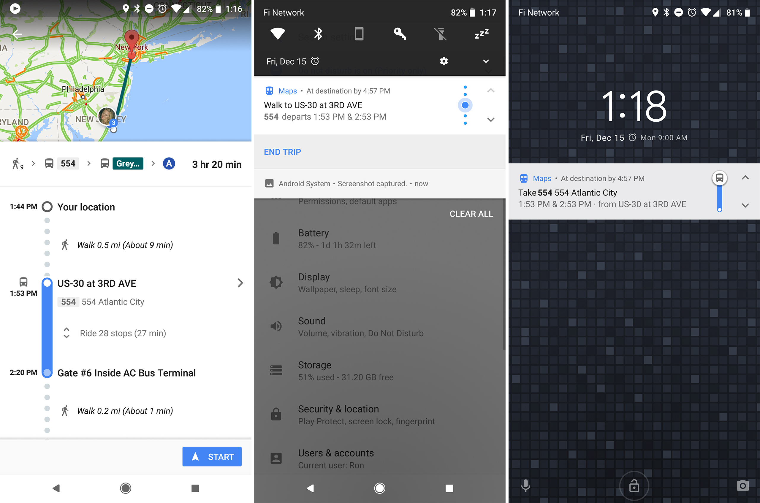
Enlarge / Left: Google Maps Transit directions with the new "start" button." Center and right: The new transit navigation notification. You can tap on the arrows to cycle through steps.
Google Maps is an awesome app for getting you where you need to go, but the app has always treated transit directions like a second-class citizen. For years, driving, walking, and biking directions have had a "navigation" mode, which shows you live map and gives you turn-by-turn directions. Transit has never had a "navigate" mode, though—it only ever had a flat list of directions.
Today, Google is finally adding an actionable navigation mode to transit directions. Now when you pick out a transit route, you'll see a new "start" button at the bottom of the screen, along with the familiar navigation icon. This brings a number of improvements transit directions.
When you hit the start button, the next step in your journey becomes a stickied, ongoing notification. The old transit mode was just a list inside the Maps app, which made multi-tasking on your phone very annoying. While sitting on the bus or subway, I would rather be reading a website, texting, or playing a game, but the anxiety of possibly missing my stop would have me constantly opening Google Maps again to check on my progress. With the notification, I can now easily see where I am without leaving the current app.
Read 2 remaining paragraphs | Comments